TechHow China is making more out of its maps
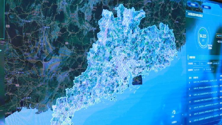
China is broadening the use of surveying and mapping data in disaster prevention, public services and economic management. Guangdong has distributed geological disaster maps to all 19,145 administrative villages and uses satellite imagery, cameras and drones to detect changes, while Guangzhou’s Nansha district deploys surveying drones for traffic and other government services.
C CGTN★★★☆☆2026-09-01 13:06Original
How China is making more out of its maps
 Tech